Online Collection
« Prev - 1 of 1 results - Next »
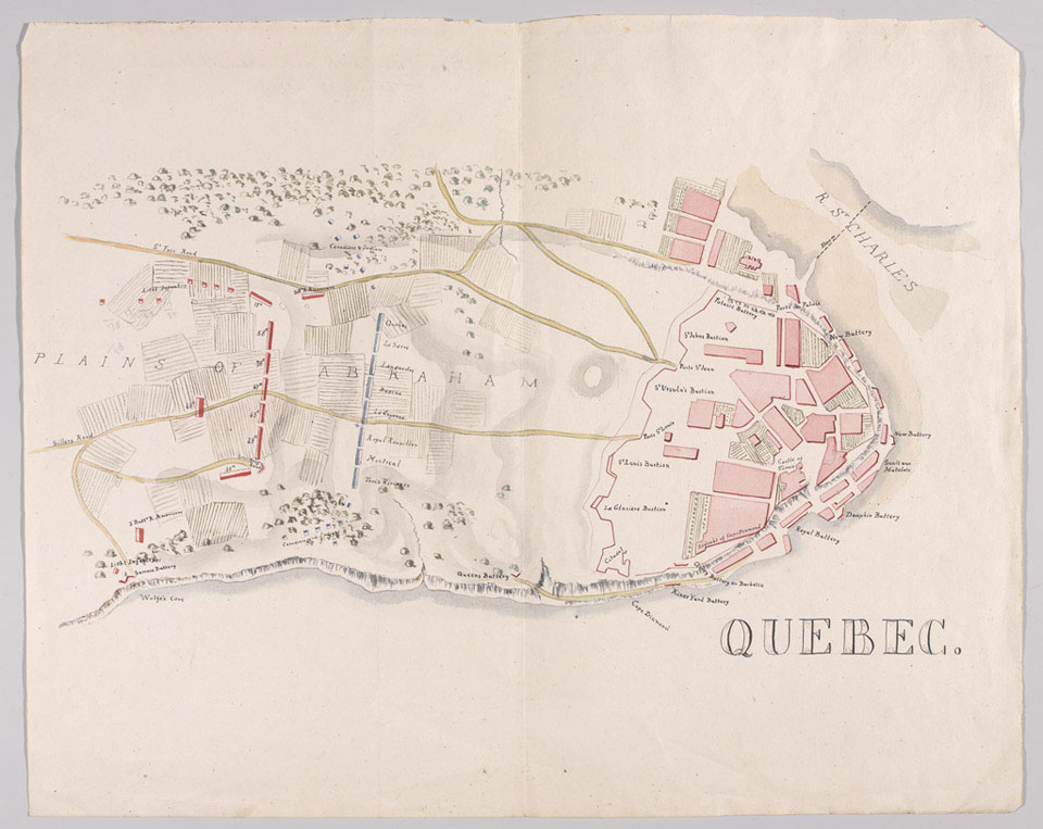
Map of Quebec, 1759
General Wolfe's daring victory over the French at Quebec led to the conquest of Canada by Britain. It also temporarily united Canada and the 13 American colonies under the British crown. It was a pivotal event of the 18th century, all the more celebrated for Wolfe's heroic death at the moment of victory.
Wolfe led his men in carrying out a bold plan. He used flat-bottomed landing craft to take 4,500 troops up the St Lawrence River at night. Landing south-west of Quebec, they scaled the precipitous cliffs up to the Plains of Abraham, surprising the French and drawing them out of the city and into battle.
The British were experienced, well led and highly disciplined. Innovatively, they fought in two ranks rather than the usual three, spreading themselves across the battlefield. Each soldier loaded his firearm with two musket balls to deliver a ferocious initial volley. The French, their commander General Montcalm mortally wounded, were comprehensively defeated.
One of 29 pen and ink and water colour maps and plans, 1745-1838.
NAM Accession Number
NAM. 1963-06-68-2
Copyright/Ownership
National Army Museum Copyright
Location
National Army Museum, Study collection
Object URL
https://collection.nam.ac.uk/detail.php?acc=1963-06-68-2

