Online Collection
« Prev - 1 of 1 results - Next »
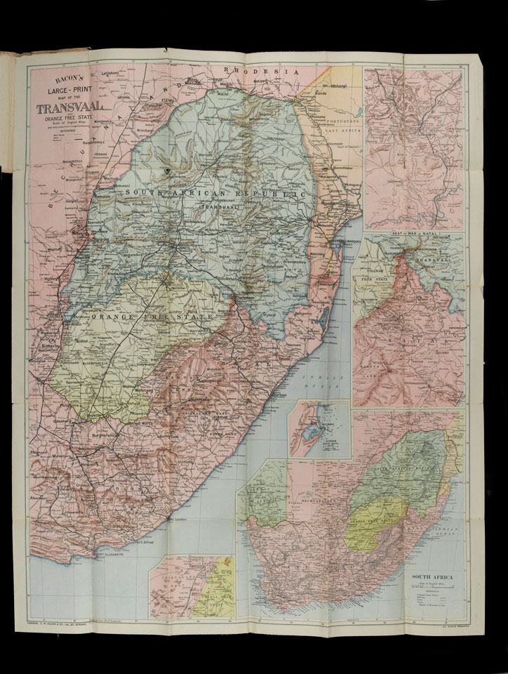
Bacon's Large-Print Map of the Transvaal and Orange Free State and Natal, 1900
Published by G W Bacon, 1900.
The map was the property of Howard Henry Congreve Dent (1874-1972) who served in the Boer War (1899-1902) as a civil surgeon. Dent landed at Cape Town on 19 January 1900. He moved up country and was posted to the 7th Division Field Hospital at Klips Kraal before joining the 4th Brigade Field Hospital for the advance on Bloemfontein in the Orange Free State. Struck down by fever while working at the Glen Hospital in Bloemfontein, on recovering he worked at No 3 Stationery Hospital in De Aar in the north of Cape Colony.
Dent went on to serve with 1/3 North Midland Field Ambulance, Royal Army Medical Corps, on the Western Front, during World War One (1914-1918).
The main area of the map is of the Transvaal and Orange Free State, with insets of Ladysmith, northern Natal, and a general map of South Africa.
NAM Accession Number
NAM. 1986-06-78-5
Copyright/Ownership
National Army Museum, London
Location
National Army Museum, Study collection
Object URL
https://collection.nam.ac.uk/detail.php?acc=1986-06-78-5

