Online Collection
« Prev - 1 of 1 results - Next »
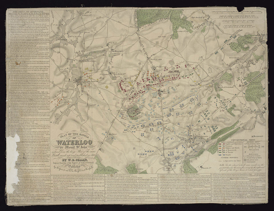
'Plan of the Battle of Waterloo or Mount St John reduced from the large plan of the same battle, made up and published in 1816'
This printed plan was produced from a larger map by William Benjamin Craan, chief engineer of King William of Orange, who surveyed the battle site. This reduced version includes textual notes outlining the French and Allied dispositions.
This copy belonged to Colonel John Le Couteur, an ADC to Queen Victoria in 1848.
NAM Accession Number
NAM. 1990-08-68-1
Copyright/Ownership
National Army Museum, Out of Copyright
Location
National Army Museum, Study collection
Object URL
https://collection.nam.ac.uk/detail.php?acc=1990-08-68-1

