Online Collection
« Prev - 1 of 1 results - Next »
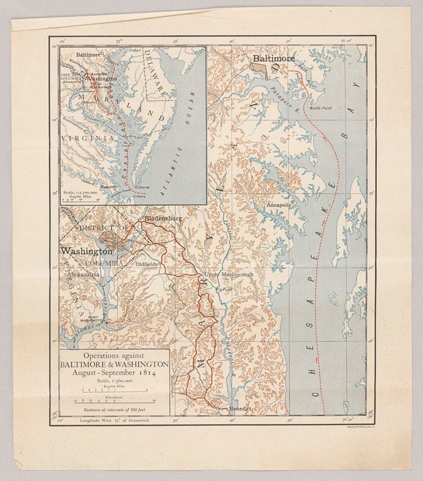
'Operations against Baltimore & Washington August-September 1814'
Map, published by Emery Walker Limited, scale 1:360,000, no date.
Map relating to the American War of 1812 showing Washington and Baltimore, and the Chesapeake Bay coast of Maryland.
From the collection of the former Buffs Regimental Museum.
NAM Accession Number
NAM. 2000-10-107-3
Copyright/Ownership
National Army Museum, London
Location
National Army Museum, Study Collection
Object URL
https://collection.nam.ac.uk/detail.php?acc=2000-10-107-3

